A boat on Banks Lake is tiny against the massive wall of the Upper Grand Coulee.
Here’s our 2023-24 Visitors’ Guide, the print version in online form. Use this to keep it “in your pocket” for quick reference
OR
Pick up the actual print version just about anywhere in town, at the Visitor Center at Grand Coulee Dam or at several visitor centers around the state.
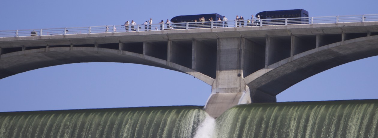
Fireworks off the top of the dam will be bigger and better this year, chamber of commerce officials, say.
Music, food and fireworks.
Sounds like Festival of America time in the coulee, when patriots can celebrate America Friday and Saturday at the park below the Visitor Center, with a guide to the action inside this issue.
The Grand Coulee Dam Area Chamber of Commerce, the organizer of the event, has put together live music, kids activities, a big show in the park, fireworks and more to entertain local residents as well as the thousands of visitors who crowd the park and surrounding areas each year.
Listen to the music of MacDaddy, Tuxedo Junction and the Olson Bros. bands.
Fifty vendors will provide food and product in the park.
An “Inflatable Village,” a romp particularly for the kids, will help to make the time clearly a family time.
New this year is the chamber’s Beer Garden, located on town shop property facing Columbia Avenue, where adults can go for a beverage break and a retreat from the crowd.
All in all, a great experience filled with possibilities for everyone.
And don’t forget the Laser Light Show, kicking off just before the fireworks over Grand Coulee Dam.
All the fun is explained in the special Festival of America section with this week’s Star newspaper.
And by the way, when you see a chamber of commerce member, say “thanks” for the creativity and hard work it takes to put on the festival.
Here’s our online edition of our printed special section:
The boat launch at Crescent Bay on Lake Roosevelt is currently high and dry, but Spring Canyon and up to 11 of 22 launches in the Lake Roosevelt National Recreation Area still reach the water. Spring Canyon, the lowest reaching launch, goes down to elevation 1,222.
Lake Roosevelt is being held at a level about 47 feet below the full mark while maintnenace is completed on the drum gates that hold the water back when the lake is full.
The Bureau of Reclamation, which operates Grand Coulee Dam, reports the lake will likely remain below 1,255 feet above sea level until May 10.
The water forecast for the Columbia River drainage above Grand Coulee Dam, from April to August this year, is estimated to 82.5 percent of normal, so the maximum level allowed for flood control right now would actually be 1,283.3 feet, less than 7 feet below spilling over.
But such flood control elevations are the maximum elevations allowed to ensure enough room in the lake for the spring runoff. Actual elevations may be lower “based on power demand, unforeseen power emergencies, changes in weather events, maintenance on the dam, etc,” the bureau explains on its website.
Between a renewed push for re-introducing salmon to the Columbia River above Grand Coulee Dam and a newly developing technology, a consortium of tribes is hopeful that somehow, there will be a way to bring salmon back.
The icon of the Pacific Northwest has been gone from the upper reaches of the Columbia since the building of Grand Coulee Dam. Now they’re actually stopped at Chief Joseph Dam, more than 50 miles downriver.
But a treaty may open for negotiations between the United States and Canada that dictates exchanges of water and electricity and infrastructure provided. And the Upper Columbia United Tribes is hopeful, along with the Colville Confederated Tribes, that a way for cheap transport may have been discovered by company touting its “salmon canon.” Picture a kinder, gentler form of the same kind of suction tube that takes your deposit at a drive-up bank.
Whooshh Innovations, of Bellevue, Washington, has more information about adapting their fruit moving technology, to help solve the problem of letting fish move upstream. Below is a video that demonstrates the innovation. The company has lots more on its website, which was even recently featured in a segment on Last Week Tonight with John Oliver.
Although a way may be found to move salmon upstream over huge dams, that may actually be the easier part of the problem to solve. After hatching, the young salmon have to get back to the ocean. They only swim upstream, so they have to be pushed by a considerable current, which is not present in Lake Roosevelt above Grand Coulee Dam.
But the salmon canon idea is still fun to watch:
Image of a chinook salmon by U.S. Fish and Wildlife Service used under Creative Commons license.
The flood control level needed for Lake Roosevelt is set in the blue triangles for 2015, compared to the 2014 history depicted by the pink dotted line. — USBR graph
The level of Lake Roosevelt has already dropped to to a level not predicted until March, in a forecast put out in mid-January, 2015.
On Friday, Jan. 30, the lake surface was at about 1,276 feet above sea level, which will put out of reach several boat launches on the lake, but certainly not all. (See the list below).
The deepest access is offered at the Spring Canyon launch near Grand Coulee.
The U.S. Bureau of Reclamation, which operates Grand Coulee Dam, which controls the lake, had published an estimate of the lake level drop this year showing a flood control schedule that would have still held the level at full pool until the end of February and eventually dropping to about 1,243 in April, not as far down as in 2014. But factors including weather and power demand can be hard to predict.
MINIMUM BOAT LAUNCH ELEVATIONS
Crescent Bay 1265′
Spring Canyon 1222′
Keller Ferry 1229′
Hansen Harbor 1253′
Jones Bay 1266′
Lincoln Mill 1245′
Hawk Creek 1281′
Seven Bays 1227′
Fort Spokane 1247′
Porcupine Bay 1243′
Hunters Camp 1230′
Gifford 1249′
Daisy 1265′
Bradbury Beach 1251′
Kettle Falls 1234′
Marcus Island 1281′
Evans 1280′
North Gorge 1280′
Snag Cove 1277′
French Rocks 1265′
Napoleon Bridge 1280′
China Bend 1277′