Denny Pinar, of Almira, stops to show the entry he’s about to take to judges for the ribs portion of the 2015 barbecue contest.
Barbecue lovers might want to mark Sept. 16 and 17 on their calendars.
Those are the days you can go to Banks Lake Park and sample barbecue specialties from a host of grillers who are after the grand champion prize of $2,000, the trophy that goes along with it, and bragging rights.
It’s a repeat of a fun adventure held over for a repeat performance from last year’s Harvest Festival.
This year the festival will be held at Banks Lake Park (near North Dam) on Sept. 15-17. The Foosball event will be on Saturday and run from 10 a.m. to 4 p.m., or until all of the contesting teams have concluded the double-elimination tournament.
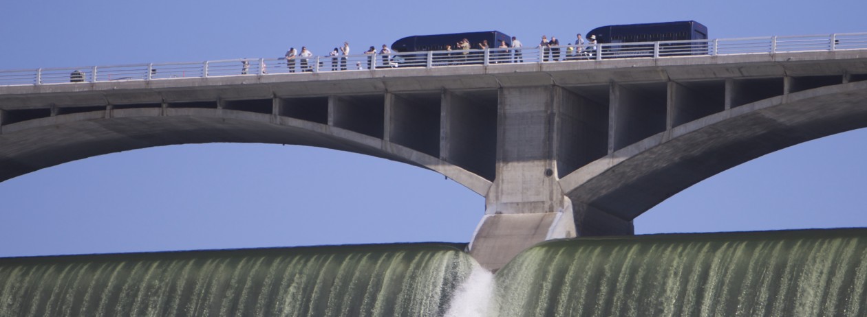
Anglers 17 and older can get $10 dollars a head for Northern Pike caught in the area. The Colville Tribes Fish & Wildlife issued a press release with all the details including rules to follow, and that 216 pike heads have been turned in so far for a total payout of $2,160 dollars. The program started May 1 and ends on December 31, allowing anglers ample time to catch their limit of 59 pike each. The full press release is below.
Northern Pike Program Pays Off
The Colville Tribes’ Fish and Wildlife Department (CTFW) announces that its Northern Pike Rewards Program is in full swing as 216 pike heads have been turned in for a payout of $2,160 to anglers. The program started on May 1 and will end on December 31, allowing anglers ample time to catch their limit of 59 pike each.
“We are processing reward payments monthly and we expect more pike to be turned in once the reservoir refills and the weather is nicer,” said Holly McLellan, fisheries biologist for CTFW. “We want to make sure people turn their fish heads in by the end of each month. All size pike count for a payout, even small fish.”
There are two locations for anglers to take their fish heads. One is located at the Noisy Water Gas Station and one is set up near the Park Service at the Kettle Falls fish cleaning station.
CTFW recently expanded the capture area from Grand Coulee Dam to Wells Dam. Therefore, you may submit your pike head(s) to the Nespelem Fish and Wildlife Office until such time a new drop off location is developed.
“We appreciate the publics support for the program and we look forward to working with local anglers to protect the Lake Roosevelt ecosystem,” said McLellan. “We are receiving positive feedback from the public about the program. Anglers want to help protect the Lake Roosevelt fishery.”
The three co-managers (Colville Tribes, Spokane Tribe of Indians, and WDFW) of Lake Roosevelt removed 1,058 pike in 2017. “We have documented pike moving downstream as far as Barnaby. We will continue our removal efforts all year as a way to stop the pike population from exploding in Lake Roosevelt and moving downstream,” she said.
At this time, no angler has made it to the $590 maximum payout. Anglers participating in the Northern Pike Reward Program must adhere to the following:
Comply with all applicable state/tribal fishing regulations for the area in which you fish. Contact your local state/tribal fishery agency for license requirements and current fishing regulations.
Provide true and accurate information to authorized program representatives regarding the taking, possession, delivery, transportation, or any other use of fish caught while participating in the Northern Pike Reward Program.
Comply with the directions of authorized program personnel related to the collection of sampling data and angler participation in the Northern Pike Reward Program.
Anglers must completely fill out the Pike Head tag information at the designated drop off area. Fish heads must be placed in a freezer bag, with the head label and dropped into the freezer.
Fish must have been caught in the main stem Columbia River from Wells Dam upstream to the Canadian border, the Spokane River upstream to Little Falls, or the Kettle River. A random number of heads will be selected for microchemistry analysis to confirm the fish’s origin.
There are no size restrictions on Northern Pike that are eligible for the reward.
Participants may receive $10 for every Northern Pike head deposited into the designated freezers, up to an individual maximum of $590 per calendar year. The total funding available for awards in this program is $10,000. No awards will be paid out once the program limit is reached.
All participants must be 17 years or older to receive the reward.
All fish to be redeemed for the reward must have been personally caught solely by the angler submitting them for the reward.
Fish heads must be in good condition and clearly identifiable. Unidentifiable heads will not be accepted or awarded.
Violations of any of the above rules may result in participant disqualification from the Northern Pike Reward Program.
The Northern Pike Reward Program can be suspended or terminated at any time at the discretion of the Colville Tribes Fish and Wildlife program.
For more information on the program, go to www.colvilletribes.com, scroll to Natural Resources and then to the Fish and Wildlife page.
Geologist Bruce Bjornstad came to Dry Falls-Sun Lakes State Park to give a guided tour of the Caribou Trail to a dog and about 10 human hikers both local, from the Seattle area, and as far away as New England last Saturday.
The approximately 90-minute guided hike started with Bjornstad showing maps of the area depicting what things were like during the Missoula Floods. He showed how a large ice dam used to be where the Grand Coulee Dam is now, and how that had diverted the Columbia River through the Grand Coulee, past Steamboat Rock, and so on. When the ice dam melted, the Columbia took on its current course.
Bjornstad, a licensed geologist/hydrogeologist who used to work for Hanford nuclear production complex in the Tri-Cities area, explained the timescale of the coulees being carved, explaining what a unique feature they are on the planet Earth, the closest thing similar being the landscapes of the planet Mars.
Hiking to huge potholes resembling craters above Deep Lake, Bjornstad explained that they were formed by whirlpools or eddies in the waters that had flooded the region, and simply dug the rocks out of the ground and sent them flying with the sheer force of the current.
“These are some of the best potholes in the world,” Bjornstad said. “There’s dozens of them up there. A lot of times you won’t see them until you’re right up next to them within a few feet when all of the sudden the ground will disappear. They can be hundreds of feet deep and hundreds of feet wide.”
Throughout the hike, Bjornstad was able to answer questions and explain geological features of the region.
A video series Bjornstad produces called Floodscapes is available to view on Youtube. The videos show stunning aerial footage shot with a drone of landscapes shaped by the Missoula Floods, including the Deep Lake Potholes.
The Candy Point Trail is a pleasant, short-but-challenging hike that starts right in town at Coulee Dam and ascends about 700 feet up flights of stone steps and trail, eventually leading to either Candy Point towards the left, or Crown Point, our community’s popular spaceship-looking viewpoint, to the right.
Both offer a great overview of the dam, with Crown Point affording an additional panorama down river. We’ll focus here on the Crown Point path; the branch to the left from the top winds back down behind the town hall where work has recently been done to restore the trail.
“It’s one of the best trails I’ve ever seen.” — Alan Carter Mortimer, Washington Trails Association crew leader
Oddly enough, the trail starts in a private backyard, but don’t worry, there are signs on the sidewalk saying it’s perfectly fine to walk through the yard to the trailhead, which you can easily see from the road. As the sign says, it’s quite the workout, but the views are well worth it.
A sign near the north end of Colombia Avenue in Coulee Dam welcomes hikers.
From the get-go, it is common to hear birds singing their songs, and see nice green areas that look like a perfect place to have a picnic. It is not uncommon to see deer grazing along the hillsides. As is the case in most of eastern Washington, be prepared to give rattlesnakes a respectable distance if you see one, which you probably won’t.
The stone steps comprising much of the trail are very impressive landscaping work that must have taken a lot of hard work to install by the Civilian Conservation Corps, a federal project that put people to work in during the Great Depression. Now that you know this, you won’t be tempted to think you’ve stumbled on to the remnants of some ancient civilization.
Stone work on the trail was originally accomplished by the CCCs during the Great Depression.
In 2017, the town of Coulee Dam’s Parks and Natural Resources Board worked with the Washington Trails Association to clear brush along the 2.25-mile trail. With an OK from the Bureau of Reclamation after it conducted an archaeological survey, around 20 volunteers for the WTA did “tread work” on the trail, helping steady and repair the many stone steps that span lengths of the trail, as well as widening and defining it, clearing rocks, and more.
“It’s one of the best trails I’ve ever seen,” said Alan Carter Mortimer, the WTA crew leader on the project. “I’ve been doing this for 21 years, and … I was just amazed! It blew me away.”
Mortimer said that from a historical point of view, and considering the high quality of the rock walls and steps left by the CCC, the trail that has deteriorated for decades “should be way more popular.”
“It’s really cool because it goes up to a great view of the dam and everything,” he said. “You go up and it’s a really great place to have lunch on top.”
One view from Crown Point, looking toward the dam.
It takes 30 minutes or more to get to the top, quite the workout for the legs. Once at the top you’ll find magnificent views of the dam, the bridge, the river, the town, and beyond.
After resting a while, and taking in the views, heading back down takes about 20 minutes. In the end, you get to have a great workout, see wildflowers and birds, take some great photos of the dam … a great way to spend an hour or two.


 \
\


