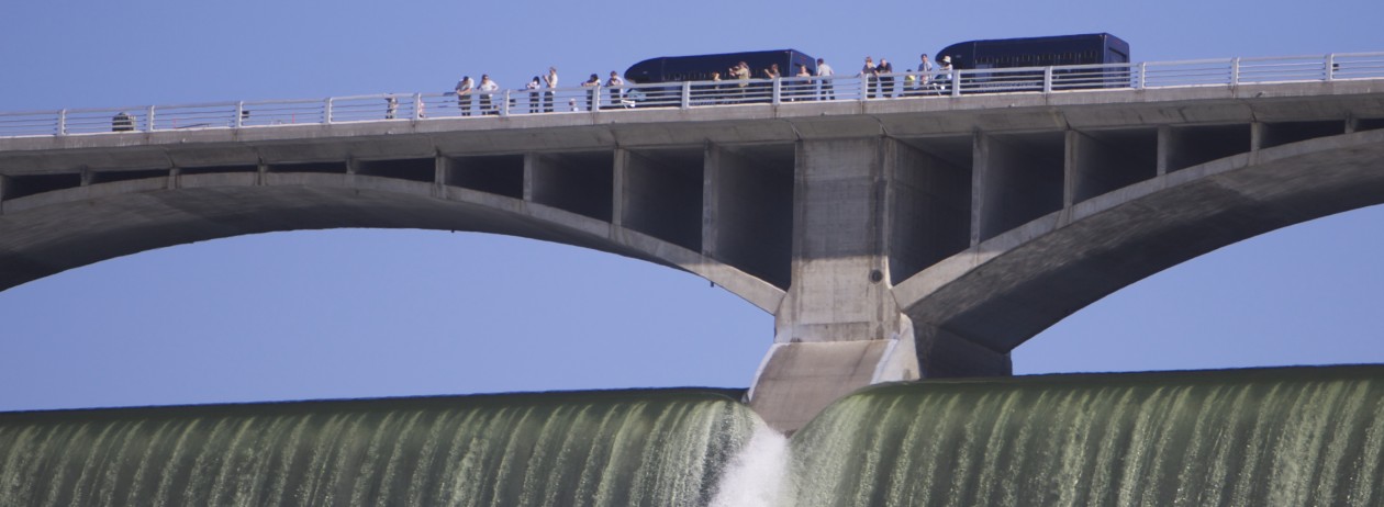
Water spills from an outlet tube at Grand Coulee Dam about 10 stories high above the water below.
Today, Banks Lake is in great shape for fishing, but Lake Roosevelt is not accessible by boat, unless you are into portaging your canoe down over a big beach.
The big lake’s levels was at about 1219 as I post this, on the way up from record low levels of under 1218 feet above sea level, or, put another way, 72 feet below the Lake Roosevelt’s fullest possible level.
Even though the water is a long way from the top of the dam, The Bureau of Reclamation has still been “spilling” 12,000 to 7,000 cubic feet per second through outlet tubes in the dam as the total water volume running down the river hits about 180,000 cubic feet per second.
Check out the lake level on our page devoted to that purpose, complete with boat launch levels here.
The spill comes as the snows in the mountains from Grand Coulee upstream, including in Canada, begin the long anticipated melt after a long, cool spring.
Basically, Lake Roosevelt is the only big storage space on the river. Other reservoirs don’t have much to work with, so in springs like this, Grand Coulee Dam’s capabilities can be the only thing stopping Portland from flooding.
When seen from the air, the relationship of Grand Coulee Dam to Steamboat Rock (far right middle) becomes apparent. It's the rock the Ice Age Floods failed to wash away from what is now the Grand Coulee.
I love the spring. As the local vegetation starts to green up, little tufts of green grass start to grow among the sagebrush. Soon dozens of varieties of wildflowers will spring up.
Our lakes are an obvious asset, but to those unfamiliar with our semi-arid desert, a less obvious thing of beauty (perhaps especially if you’re here from a more tree friendly section of the state) is our landscape full of hiking areas.
One of the most popular in the late spring is Steamboat Rock, the namesake landmark of Steamboat Rock State Park. It’s a great hike to the top, at one point very steep, but the vista is a reward you won’t forget. You can see the big rock that stands in the middle of the Grand Coulee back in the distance in the photo.
If you want to take the hike, let a park ranger know you’re heading up to the top, just so they’re aware someone is up there and to let them give you any tips you might need to know.
If you go, tell us what what you think in the comments!
Altogether, a total of 11 dams have been built on the river in the United States as it winds its way from the Canadian border toward the Pacific Ocean; Grand Coulee Dam is the keystone of the Columbia River system dams. Five other dams in the Big Bend region of the river also offer facilities for visitors — Chief Joseph Dam on Highway 17 in Bridgeport; Wells Dam south of Brewster on Highway 97; Rocky Reach Dam north of Wenatchee on Highway 97; Wanapum Dam six miles south of the I-90 crossing of the Columbia; and Priest Rapids Dam on Highway 243.
These are all part of some 32 dams in the land mass drained by the Columbia River system (including other rivers), an area roughly the size of France.