
The Candy Point Trail is a pleasant, short-but-challenging hike that starts right in town at Coulee Dam and ascends about 700 feet up flights of stone steps and trail, eventually leading to either Candy Point towards the left, or Crown Point, our community’s popular spaceship-looking viewpoint, to the right.
Both offer a great overview of the dam, with Crown Point affording an additional panorama down river. We’ll focus here on the Crown Point path; the branch to the left from the top winds back down behind the town hall where work has recently been done to restore the trail.
“It’s one of the best trails I’ve ever seen.” — Alan Carter Mortimer, Washington Trails Association crew leader
Oddly enough, the trail starts in a private backyard, but don’t worry, there are signs on the sidewalk saying it’s perfectly fine to walk through the yard to the trailhead, which you can easily see from the road. As the sign says, it’s quite the workout, but the views are well worth it.

From the get-go, it is common to hear birds singing their songs, and see nice green areas that look like a perfect place to have a picnic. It is not uncommon to see deer grazing along the hillsides. As is the case in most of eastern Washington, be prepared to give rattlesnakes a respectable distance if you see one, which you probably won’t.
The stone steps comprising much of the trail are very impressive landscaping work that must have taken a lot of hard work to install by the Civilian Conservation Corps, a federal project that put people to work in during the Great Depression. Now that you know this, you won’t be tempted to think you’ve stumbled on to the remnants of some ancient civilization.

In 2017, the town of Coulee Dam’s Parks and Natural Resources Board worked with the Washington Trails Association to clear brush along the 2.25-mile trail. With an OK from the Bureau of Reclamation after it conducted an archaeological survey, around 20 volunteers for the WTA did “tread work” on the trail, helping steady and repair the many stone steps that span lengths of the trail, as well as widening and defining it, clearing rocks, and more.
“It’s one of the best trails I’ve ever seen,” said Alan Carter Mortimer, the WTA crew leader on the project. “I’ve been doing this for 21 years, and … I was just amazed! It blew me away.”
Mortimer said that from a historical point of view, and considering the high quality of the rock walls and steps left by the CCC, the trail that has deteriorated for decades “should be way more popular.”
“It’s really cool because it goes up to a great view of the dam and everything,” he said. “You go up and it’s a really great place to have lunch on top.”

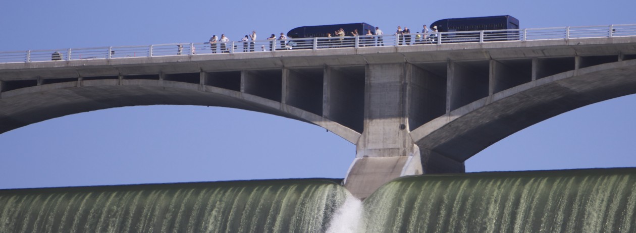
It takes 30 minutes or more to get to the top, quite the workout for the legs. Once at the top you’ll find magnificent views of the dam, the bridge, the river, the town, and beyond.
After resting a while, and taking in the views, heading back down takes about 20 minutes. In the end, you get to have a great workout, see wildflowers and birds, take some great photos of the dam … a great way to spend an hour or two.
Here’s a map to help you start out.

